


I used to talk about “Central New York” like it was shorthand for Syracuse and maybe a quick detour to Cooperstown. Then I actually drove the region as defined by the state’s eight-county tourism map, and the distance, variety, and personality shifts surprised me mile after mile. This is not a Syracuse guide. It is a planning resource built around the places I truly experienced on one continuous trip through Otsego, Oneida, Herkimer, Schoharie, Madison, and Broome counties, stitched together by small-town backroads, the Mohawk Valley, and that long pull south to Binghamton.
What I Drove, What It Cost, and Why Central NY Felt Bigger Than I Expected
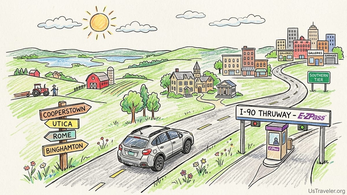
I did this trip primarily by car, because the best parts of the eight-county Central New York region do not line up neatly along one rail corridor. I picked up a compact SUV rental with all-wheel drive, not because the roads demanded it in good weather, but because I wanted the flexibility to take gravel pull-offs near lakes, handle sudden downpours, and not stress if a motel lot turned into a muddy patch after rain. My route leaned heavily on I-90 (the New York State Thruway), then branched onto two-lane state routes that are scenic but slower, the kind where you get stuck behind a tractor for five minutes and realize you are no longer traveling in “city time.”
The biggest practical note: I-90 is tolled across New York, and the Thruway’s pricing is not something I like guessing about. For 2026, the Thruway Authority’s published toll rates took effect January 1, 2026, and the cleanest way I verified my toll exposure was by using the official Toll and Distance Calculator before I left. I traveled with E‑ZPass because cashless tolling makes that the least painful option, and because I did not want a “tolls by mail” surprise weeks later. Once I committed to the Thruway for the Mohawk Valley stretch, I treated tolls as part of the baseline budget the way I treat airport baggage fees: annoying, predictable, and avoidable only if I was willing to add time on slower non-toll routes.
Driving in this region is easy in one sense and tricky in another. The highways are straightforward, but the moment you drop into villages like Cooperstown, or slide through the older street grids of Utica and Rome, the rhythm changes. Parking rules flip from “pull anywhere on the shoulder” to timed spots, permit zones, or lots with posted event rates. I also learned the hard way that what looks like a “quick attraction” on the map can swallow half a day when you factor in slow scenic roads, a long lunch that turns into a conversation with a bartender, and one unplanned museum stop that feels too good to rush.
From north to south, the region felt longer than I expected. The Mohawk Valley corridor around Utica and Rome feels like a central spine, but once I drove down toward the Southern Tier and arrived in Binghamton, it felt like I had crossed into a different tempo entirely. Rural quiet became a small city with galleries, garages, and Friday-night energy. That shift is what made the trip click for me: Central New York is not one place. It is a set of connected places with very different voices.